
🐶 Dogs
🐱 Cats
🐶 Dogs
-
-
-
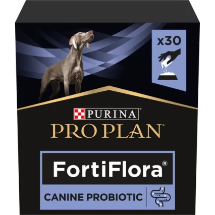
PPVD FORTIFLORA Canine Nutr (30g)FR
AED157.50 -
PPVD FORTIFLORA Feline Nutr (30g)FR
AED157.50 -
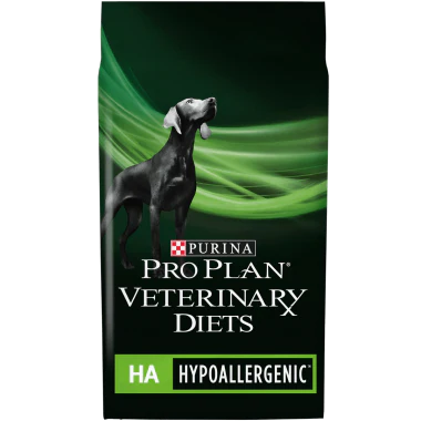
PPVD CANINE HA (Hypoallergenic) 11kg XE
AED465.15 -
-
-

-
Size Health Nutrition Medium Adult 10kg
AED281.00 -
-
Happy Dog Supreme Sensible Piemonte
AED23.00 – AED253.00 -
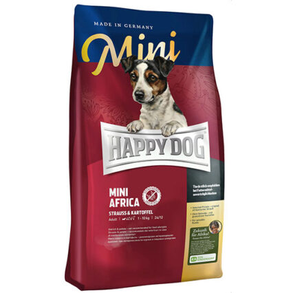
Happy Dog Mini Sensible Africa 1kg
AED53.00 -
-
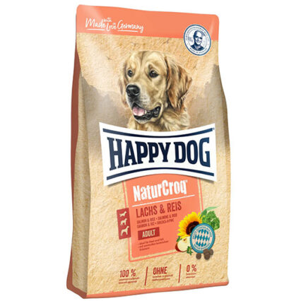
Happy Dog NaturCroq Salmon & Rice
AED198.00 – AED220.00 -
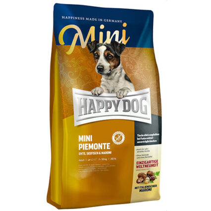
Happy Dog Mini Sensible Piemonte
AED50.00 – AED145.00 -
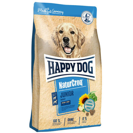
Happy Dog Naturcroq Junior
AED105.00 – AED250.00
🐱 Cats
-
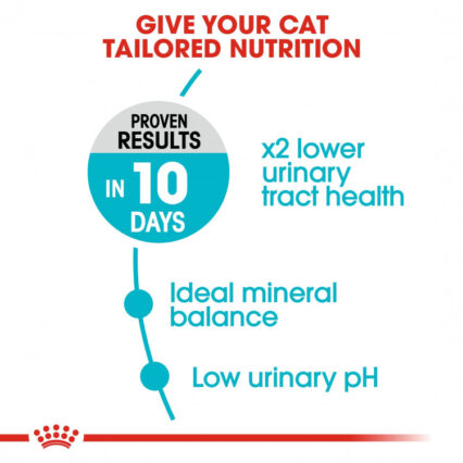
Feline Care Nutrition Urinary Care 4 KG
AED230.00 -
-
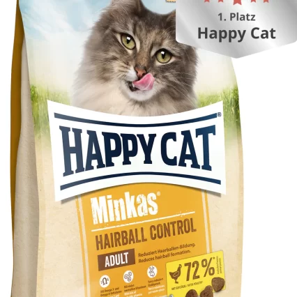
Happy Cat Minkas Hairball Control 0.5kg
AED22.05 – AED211.05 -
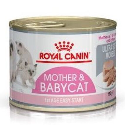
Happy Cat Kitten Land Geflugel (Poultry) 0.3kg
AED21.00 – AED133.35 -

Happy Cat Minkas Hairball Control 10kg
AED211.05 -
PPVD FELINE HA (Hypoallergenic) 1.3kg XE
AED147.00 -
-
-
Happy Cat Minkas Tuna Drink
AED12.10 -
Happy Cat Minkas Chicken Drink
AED12.10 -
Happy Cat Minkas Salmon Drink
AED12.10 -
Happy Cat Adult Sterilised Weide Lamm
AED55.65 – AED262.50 -
Happy Cat Sensitive Niere (Kidney)
AED55.00 -
-
-
Happy Cat Culinary Q Forelle (Trout)
AED21.00 – AED262.50